


About SpeedMap
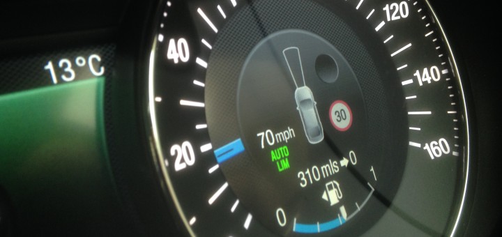
It’s simple! Connected vehicles, black-box insurance, fleet management, highway safety, roads policy: All need to know what speed limits are across the road network.
So, our mission is simple: to map the speed limit for every road on the planet!
What Sets SpeedMap Apart?
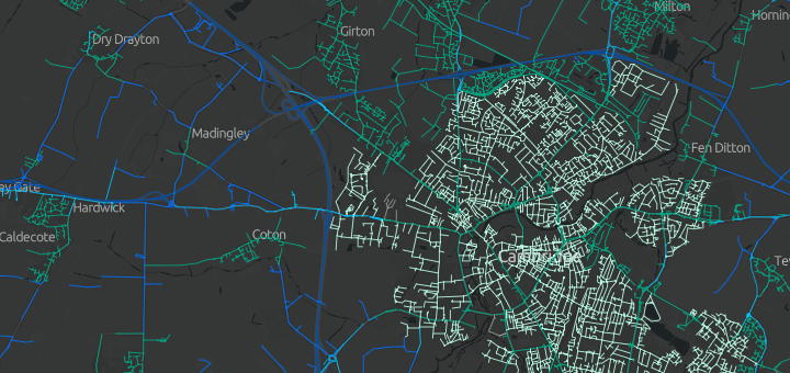
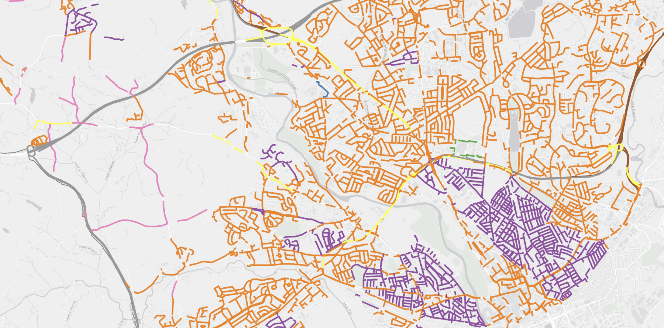
The reason SpeedMap is able to achieve full network coverage and such a high level of accuracy, is that we do not depend on a single data source like some of our competitors. Our multi-stage processing harnesses a wide range of data sources and classifications to created validated and verified output data of the highest quality.
Road attribute data
Land use classification
Legislative data
National and municipal transport data
Connected vehicle data
Earth observation imagery
Open-source mapping
Human verification
Key features
Why Choose SpeedMap?
Scalable Costs
Global Reach
Cutting-Edge Technology
Expert Team
Customer-Centric Approach
RoadMap to 2025
We are expanding into new territories
UK, Ireland, Romania & Cypress available today

Monitoring vehicles in your own fleet?
Choose our ‘Pay-Per-Vehicle’ licence
Prices from just 67p per vehicle per year
Map or API access, subject to a minimum annual spend of £1,500 *API includes access to all available territories

Download data for an area for use in your own systems?
E.g. a transport planning company advising on local limits
Choose our ‘area network licence’
From just 25p per kilometre including quarterly updates for limited access for 10 users

National road authority planning safety policy?
E.g. a national highway safety board reviewing guidance on speed limit setting
Choose our ‘national network licence’
From just 25p per kilometre including quarterly updates for limited access for 20 users

Need national data to use in products for resale?
E.g. telematics solutions to the insurance sector
Choose our national mapping licence
From just £1.15 per km of road lengths
Annual updates are charged at 25% of perpetual licence
Meet some of our team
Road safety experts, with decades of experience

Richard Owen
Director & Data Architect
Richard's entire career has focussed on data-driven solutions. The brains behind the original architecture and a guiding hand in all new developments, Richard is hugely passionate about SpeedMap and the drive towards ever improving accuracy.

Dan Campsall
Director
Dan has been transport safety for over 20 years, now working internationally to support governments and global institutions. His knowledge of road safety and involvement in award-winning technology projects help to drive the development of SpeedMap.

Lyndsey Owen
Operations Manager
Lyndsey is an experienced project manager and programme leader running analytical services in the public and private sector.
Overseeing ops and finances, Lyndsey ensures that client delivery is at the heart of the team.

Dr George Ursachi
Data Quality Manager
George is an experienced international road safety expert and leads our data sourcing team, working with highway authorities to process regular data updates. He also leads on our international expansion as we seek to grow our database.

Andrew Hartley
GIS Manager
Part of the team since 2015, Andy is reponsible for maintenance of our spatial datasets and the quarterly update process for clients. His experience in the road safety sector together with in-depth knowledge of GIS platforms helps us keep the map accurate and up-to-date.
Case studies
See how SpeedMap provides solutions:
Speed limit maps for vehicles
As the adoption of new vehicle technologies to limit vehicle speeds becomes more common, car manufacturers need to ensure their systems are accurate and up-to-date.
HERE Technologies, the leading location data and technology platform, use our speedmap database for the UK and Republic of Ireland to support their ISA Map, delivering vehicle systems and drivers fresh and accurate speed limit information on any road.
Combining datasets to understand risk
Speed limit information, when combined with telematics data using vehicle speeds from GPS tracks, provides an excellent opportunity for road authorities and enforcement agencies to asess road sections with poor compliance.
Agilysis have been providing simple, yet powerful tools to decision makers using this data for the last three years via an online portal.
Speedmap will be a part of the PSGA from April 2023
Following several years of supply speed limit data to OS customers via their reseller network, we are proud to announce that the map will soon be available to the public sector free-of-charge via the PSGA.
Contact us
Do you have
any question?

Send us a message
If you are interested in learning more about our speed limit maps in the UK, Republic of Irelend or in other countries please get in touch using the form below. Alternatively please call on the number opposite and one of the team will be happy to speak to you.
